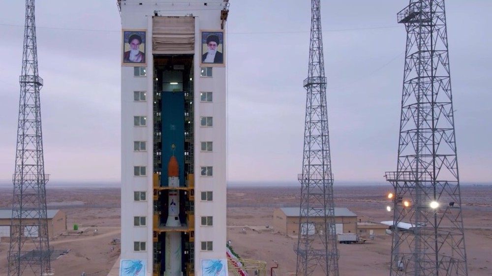
Iran is building several satellites with imaging resolution of one meter, amid efforts to boost its ability to use satellite imaging for various development purposes, says the chief of the Iranian space agency.
Hassan Salarieh said in a meeting on Tuesday that Iran's Ministry of Telecommunications is developing a new generation of higher-quality remote-sensing satellites by relying on experience gained in its home-grown space industry.
"In cooperation with relevant government departments, the ministry is currently designing and building several satellites with imaging resolution of one meter and sub-meter," said Salarieh.
He said the process to design and develop some of those satellites has been completed, adding that Iran will soon begin manufacturing them.
The official said the Iranian space agency has a multi-year program to develop satellites with various degrees of accuracy to use their data for an array of applications, including for economic development, increasing efficiency, and reducing losses caused by natural disasters.

Salarieh said data being received from major Iranian satellites that were sent to space in previous years are gradually being supplied to government departments, including the National Cartography Center of Iran.
Iran used Russia's Vostochny Cosmodrome to launch three modern home-made satellites into orbit in late 2025.
The launch of the Zafar 2, Paya, and Kowsar satellites was touted at the time as a major success for Iran's home-grown space industry.
Iran is currently among a handful of countries in the world possessing a complete cycle of space technology, from building satellites and launch vehicles to systems for launching, controlling, and receiving data.
 This makes it easy to access the Press TV website