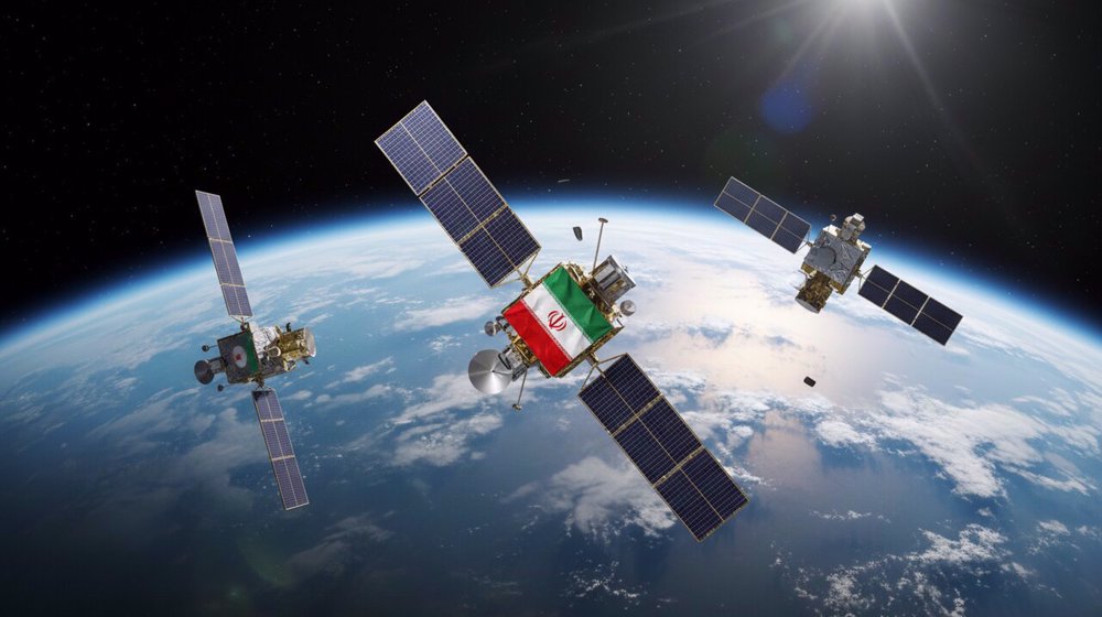
Iran is developing a fully homegrown satellite mapping platform designed to provide services similar to Google Earth, as the country moves ahead with plans to establish a national navigation system.
Nader Makari, acting head of the Iranian Space Research Center, announced the development of the “Iran-Zamin” system at a press conference at the Ministry of Information and Communications Technology on Saturday.
He said the platform has already been developed and tested and will soon become operational, adding that it will be offered in both public and commercial versions.
“The Iranian Space Research Center has succeeded, through the efforts of its specialists, in designing and localizing the ‘Iran-Zamin’ system, or the Iranian version of Google Earth,” Makari said.
He said the platform was developed in response to the need for a domestic alternative to foreign satellite-mapping services, particularly amid repeated disruptions in access to Google Earth for users in Iran.
According to Makari, the public version will offer general users access to satellite-based mapping capabilities, while the commercial version will provide more advanced tools for processing satellite data and producing specialized outputs
🛰️ Iran space agency says readying Pars 2 satellite, Martyr Soleimani constellation for launch#IranFirsthttps://t.co/mBAjCYkbLo
— Iran First (@IranFirst_PTV) September 3, 2026
The development of Iran-Zamin is part of a broader effort by the Iranian Space Research Center to reduce reliance on foreign positioning and navigation technologies.
Makari said the center had drawn up a strategic document for space navigation earlier this year after assessing various technological options, with the ultimate goal of establishing an indigenous navigation constellation.
The strategy includes the use of augmentation systems, which improve the accuracy and reliability of positioning signals, as well as Signals of Opportunity, a technique that uses existing radio signals from sources not originally designed for navigation to help determine a user’s position.
Researchers at the center are currently designing and developing the necessary components, Makari said, adding that the first phase of implementing the national navigation strategy is scheduled to begin next year (March 2027).
“Although the desired level of accuracy may not be achieved in the initial stages and early versions, the starting point for establishing a national navigation system will be reached next year,” he said.
The initiative is aimed at gradually building Iran’s own navigation infrastructure rather than relying entirely on foreign satellite-navigation systems such as the US-operated GPS, he noted.
 This makes it easy to access the Press TV website