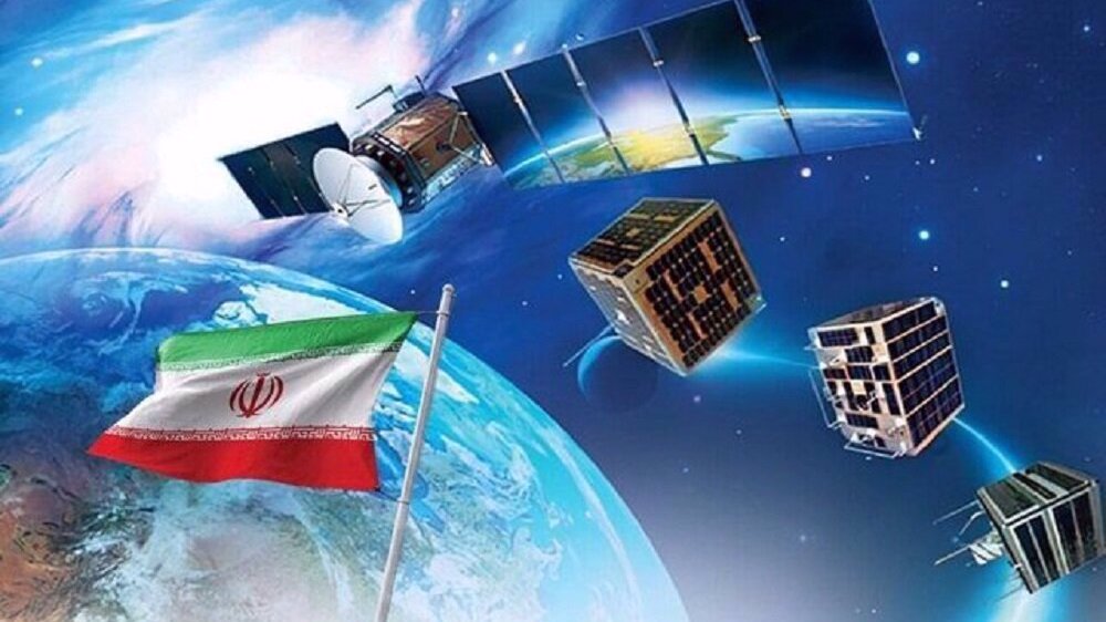
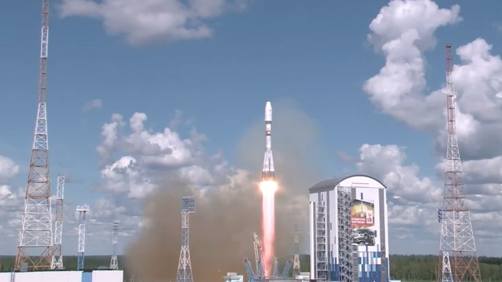
Iran receives first image from Tolou-3 remote-sensing satellite after successful orbital tests
Iran has successfully received the first image from its Tolou (Dawn)-3 remote-sensing satellite after completing a series of post-launch subsystem tests.
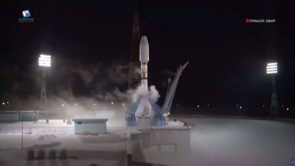
Head of the Iranian Space Agency, Hassan Salariyeh announced the information on Tuesday, noting that three Iranian satellites were launched into space last week aboard a Soyuz launch vehicle and were successfully placed into orbit on December 27.
Iran’s parliament hails triple satellite launch as major milestone in space program https://t.co/oYZgWoYTyh
— Press TV 🔻 (@PressTV) December 31, 2025
According to Salariyeh, the orbital injection process for all three satellites was fully completed later that evening and contact was sequentially established with each satellite.
He said the initial communications and signals received during the first orbital passes confirmed proper injection and early performance of all three satellites.
Orbital testing phase underway
According to the official, the satellites have now entered the orbital testing phase, which typically begins within the first one to two months after launch.
He explained that these subsystems included communications (telemetry and telecommand), power generation and distribution, stabilization, thermal control, and imaging or communications payloads. Over the past week, priority was given to testing the power subsystem due to its critical role in maintaining satellite functionality.
Communications and payload activation
Emphasizing the importance of communications at an orbital altitude of around 500 kilometers, Salariyeh said reliable telemetry and command links are essential to maintaining contact with the satellites and managing their operations.
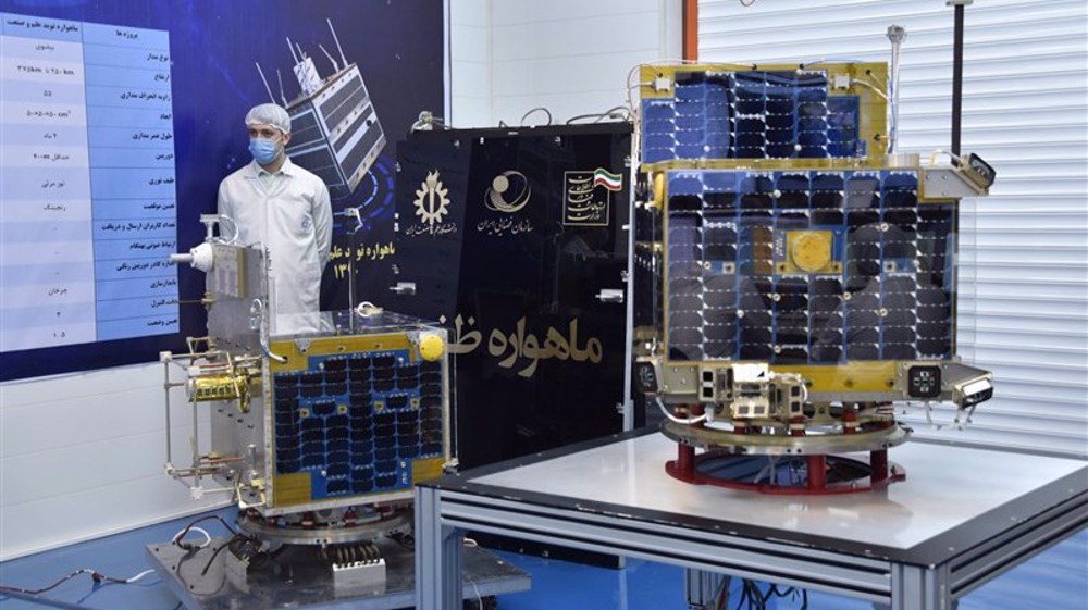
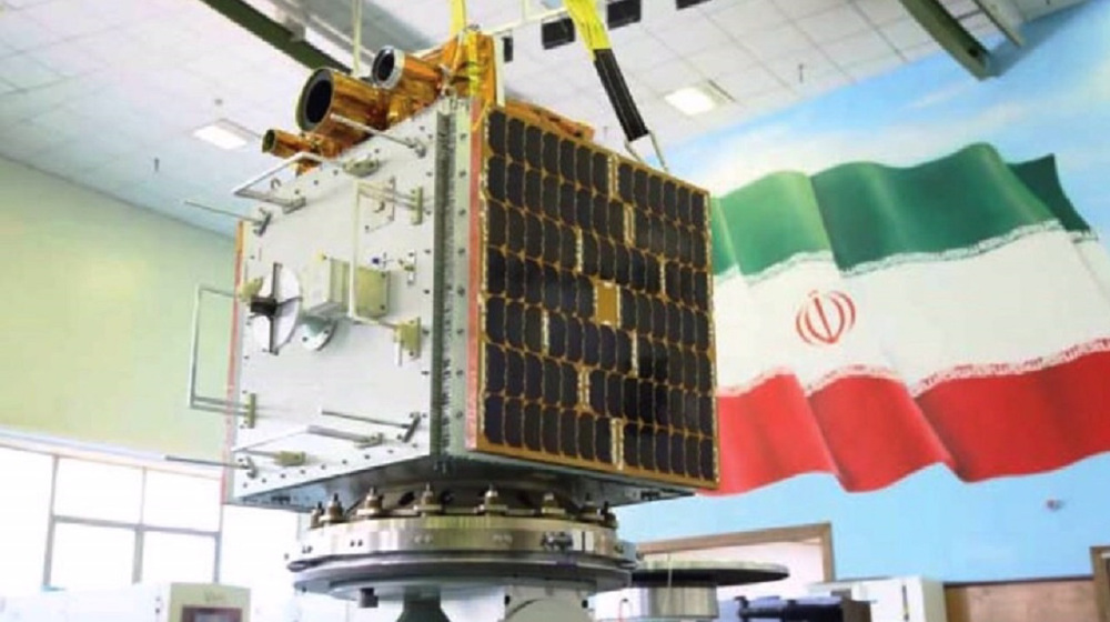
He announced that the main imaging payload of the Tolou-3 (also known as Paya (Enduring)) satellite has now been activated and that the satellite has entered the payload testing phase.
According to the official, the orbiter has progressed faster than anticipated in its orbital testing schedule, with most subsystem tests completed and approved.
The first image from the satellite was received on Monday, a development also confirmed by the country’s minister of communications, he stated.
Camera calibration to begin
Salariyeh said the next stage would involve sensitive calibration of the imaging cameras in the coming days and weeks.
This process includes geometric, spectral, and positional corrections to ensure that images accurately represented real-world conditions on Earth.
He explained that the harsh conditions of space, including launch shocks, acceleration, and temperature extremes, can affect camera alignment and performance, making post-launch calibration necessary.
Status of Kowsar and Zafar satellites
Providing updates on the other two satellites, Salariyeh said the Kowsar satellite had completed its rotational stabilization and was maintaining reliable data and command links.
Its thermal control and power systems are operating in an ideal state, and attitude-control, or Earth-pointing, operations have now begun.
Salariyeh added that the Zafar satellite had also completed its de-tumbling process, achieved stable communications, and passed power and battery tests. Earth-pointing operations for Zafar are expected to begin soon.
Imaging capabilities and applications
Salariyeh said all three satellites were capable of Earth imaging.
Paya offers a resolution of 10 meters in color imagery and five meters in black-and-white, with potential for further enhancement through processing.
Zafar provides color imagery at around 15-meter resolution, while Kowsar achieves approximately four-meter resolution.
He noted that Paya’s imaging payload uses reflective optical technology, which offers higher image quality compared to other optical systems.
According to the official, the imagery would be used for a wide range of applications, including agricultural monitoring, water resource management, environmental monitoring, crisis management, map updating, and land-use change detection.
He added that Zafar and Kowsar were also capable of providing Internet of Things (IoT) services, enabling low-volume data transmission during emergencies. Zafar, he said, can communicate simultaneously with up to 256 users when within range of ground stations.
Future plans and international cooperation
Salariyeh said the Islamic Republic’s space program is focused on stabilizing key technologies, extending satellite lifespans, increasing the number of satellites in orbit, and improving imaging resolution.
He noted that new satellites with resolutions better than one meter were under development, including Pars-3, while Pars-2 was nearing launch readiness.
He also highlighted progress in communications satellites, pointing to the launch of Nahid-2 in August and the start of design work on Nahid-3, intended for geostationary orbit at an altitude of 36,000 kilometers.
Salariyeh described the Shahid Soleimani satellite constellation, named after the country’s top anti-terror commander General Qassem Soleimani, as one of Iran’s most significant upcoming projects.
The constellation, consisting of 24 satellites, is designed to provide narrowband IoT services and reduce nationwide data access intervals to between 30 minutes and one hour.
He concluded by saying that the country was pursuing a combination of domestic development and international cooperation in the space sector, using both indigenous and international launch capabilities. According to Salariyeh, the stable performance of the newly launched satellites strengthens confidence in domestic capabilities, encourages competition among satellite developers, and supports the growth of Iran’s space industry.
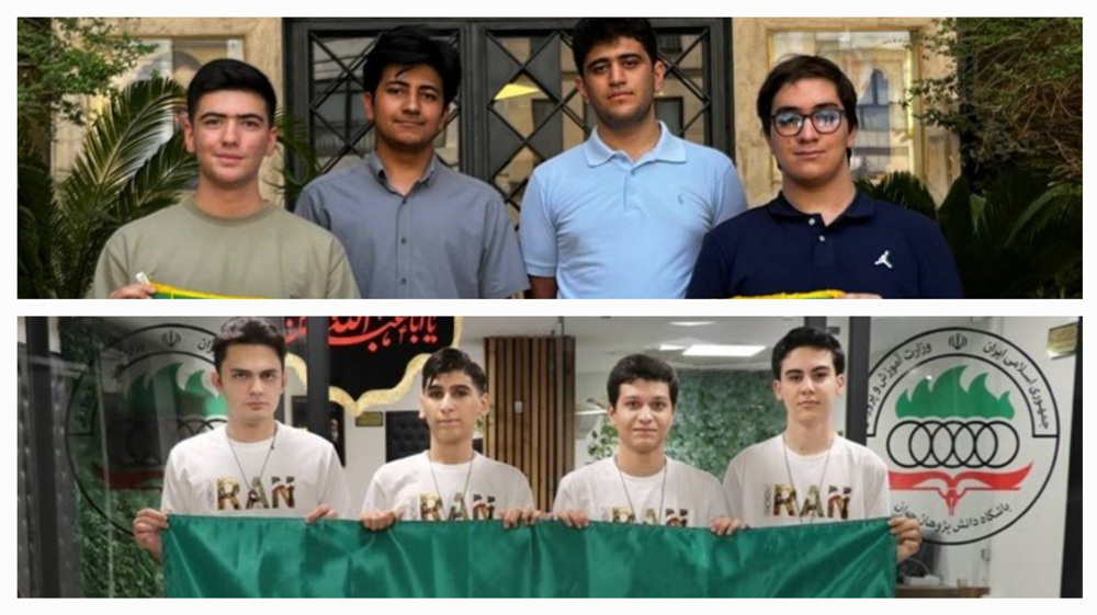
Iranian students shine at global Chemistry, Biology Olympiads with eight medals

Scientific excellence amid war: Iran’s Olympiad students win maths championship, five physics medals
Iran details satellite constellation, radar satellite plans through 2026


Thousands of Israeli settlers, led by Ben-Gvir, storm Aqsa Mosque
Iran, Iraq vow to deepen strategic partnership as PM Al-Zaidi visits Tehran
US violations of MoU not surprising; war against Iran to spell end of US imperialism: Activist
US lawmakers express concern over Washington-Riyadh nuclear deal
‘Do not commit war crimes for anyone’: Iran urges US troops to reject unlawful orders
Iran’s Army warns to adopt ‘new scenarios’ if US aggression persists
VIDEO | Press TV's news headlines
Hegseth seeks $70 billion for unwarranted Iran war